About Sal Island

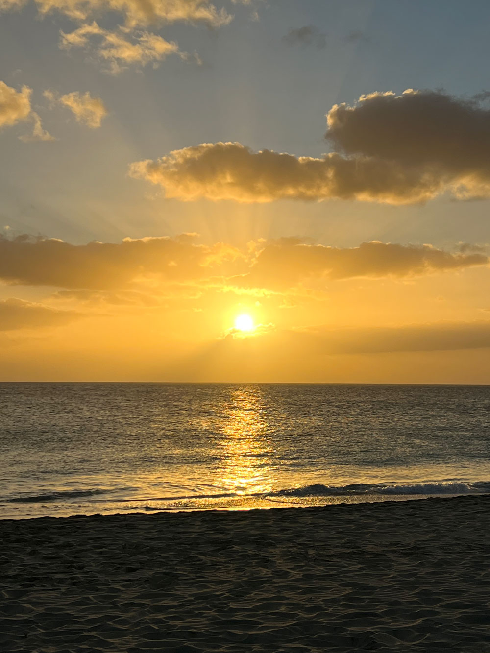
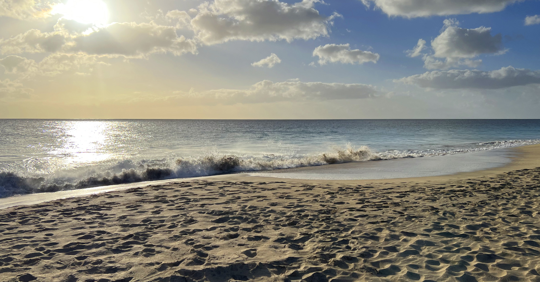
All about Sal Island, the Portuguese word for “salt,” is part of the archipelago Cape Verde. Located in the central Atlantic Ocean. Situated approximately 350 miles (560 km) off Africa’s west coast. Sal island beckons tourists with its sun-drenched allure, boasting white sandy beaches and an abundance of sunshine. Totaling on average 350 sunny days annually.
Discovered by Europeans on December 3, 1460, it was initially named “Llana” due to its flat terrain. The island saw sparse inhabitation until the late 18th century when the salt industry emerged, flourishing significantly in areas like Pedra de Lume and Santa Maria. The salt production, initially exported to Brazil, thrived until its nationalization in 1887. Subsequent to this, Portuguese and French investors spearheaded the salt production until 1984.
The island’s history intertwines with significant milestones, including the construction of an airport by Italy in 1939. The airport’s completion by the Portuguese in 1949 facilitated connections with Europe and South America.
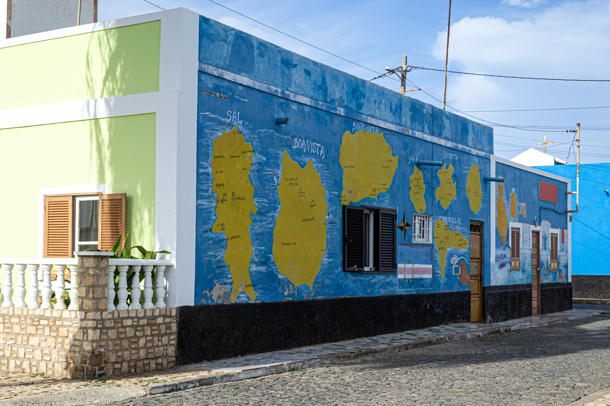
Geographically, Sal spans 29.7 km in length and 11.8 km in width, covering an area of 219.84 km². Its landscape remains notably flat, with Monte Grande being its highest point at 406 meters elevation. The island’s topography, characterized by white sandy beaches, includes the uninhabited islet Ilhéu Rabo de Junco and saline marshes in the Pedra de Lume crater and north of Santa Maria.
Sal Island boasts a climate of approximately 350 sunny days annually, predominantly with northeast winds. While cloud cover occasionally appears, rain remains infrequent, with the ‘rainy season’ spanning from July to mid-October, experiencing minimal rainfall.
This picturesque island of Sal encapsulates a blend of history, scenic beauty, and a climate conducive to year-round tourism, featuring attractions like kiteboarding, Caretta turtle reserves, and the captivating music legacy of Cesaria Evora.
About Santa Maria – Sal Island
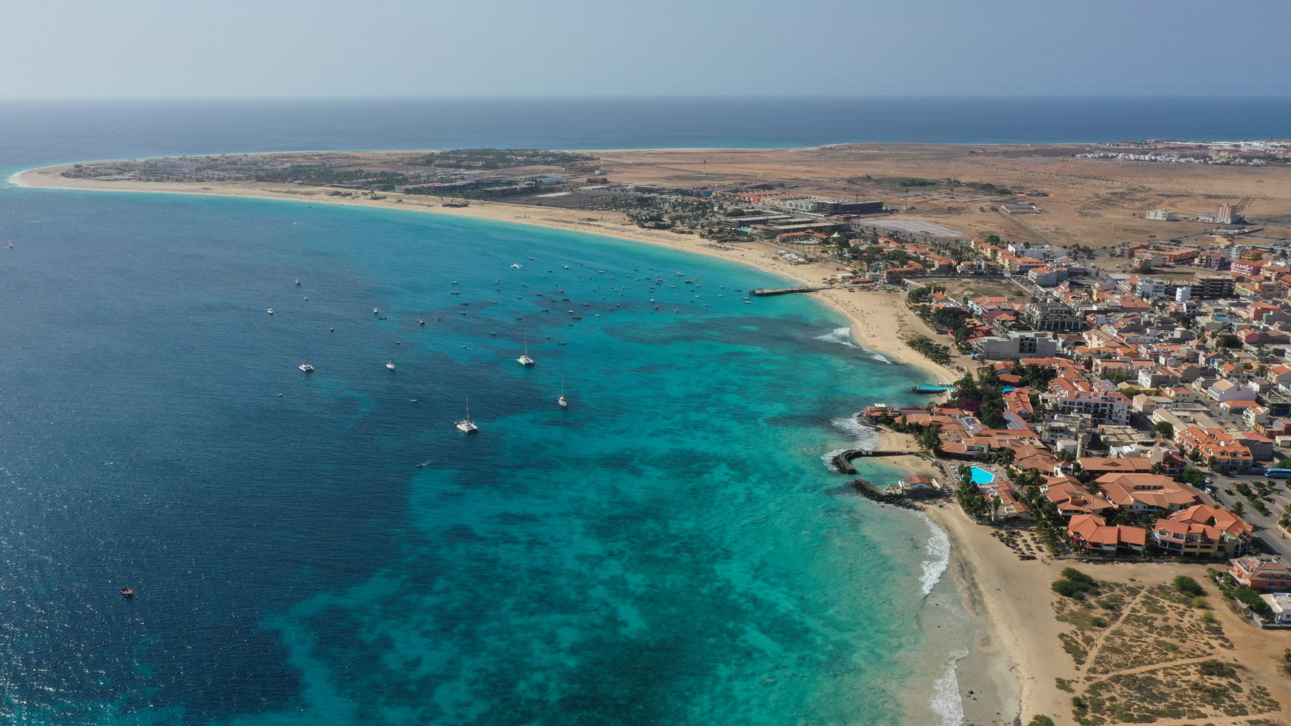
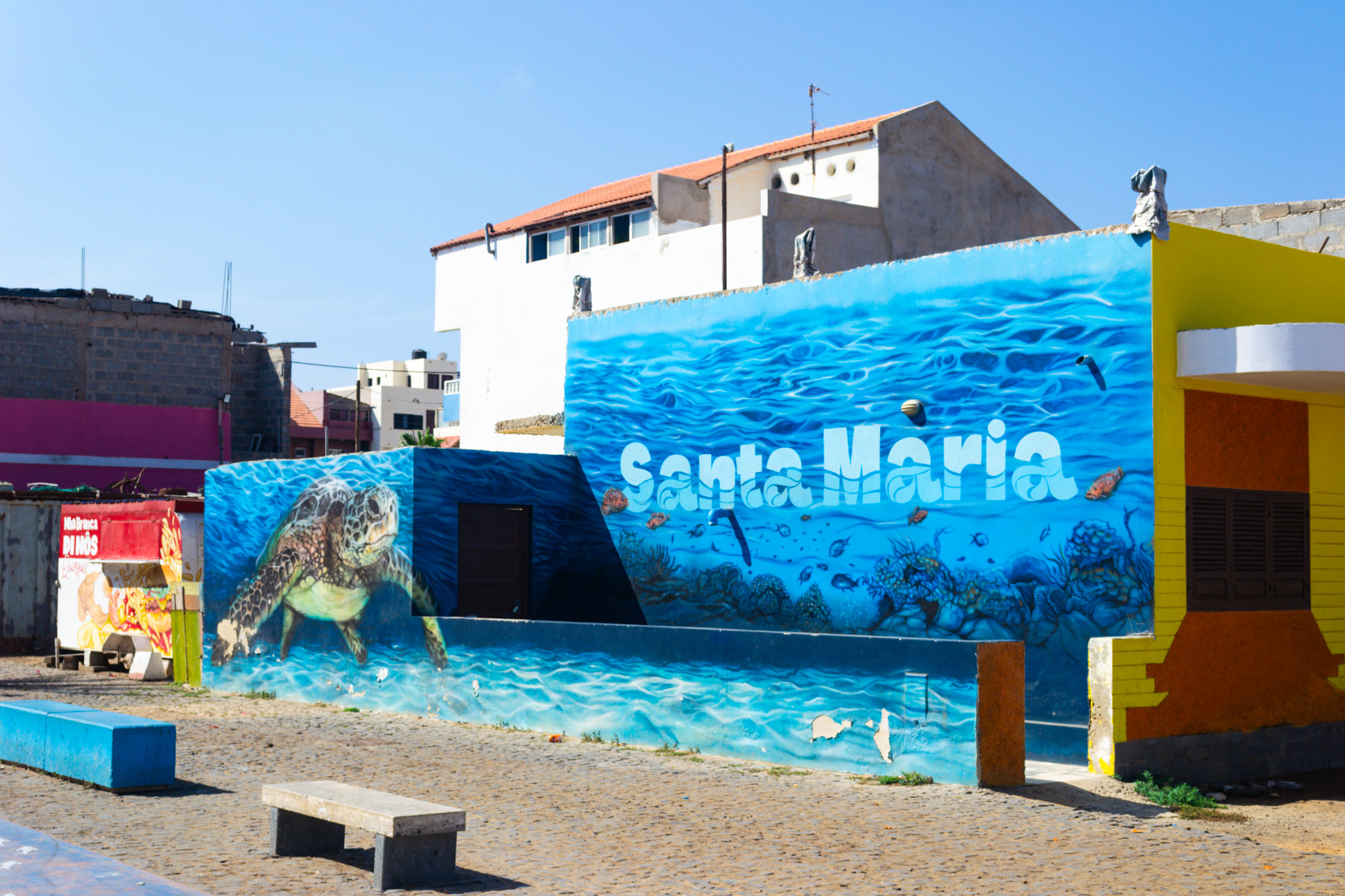
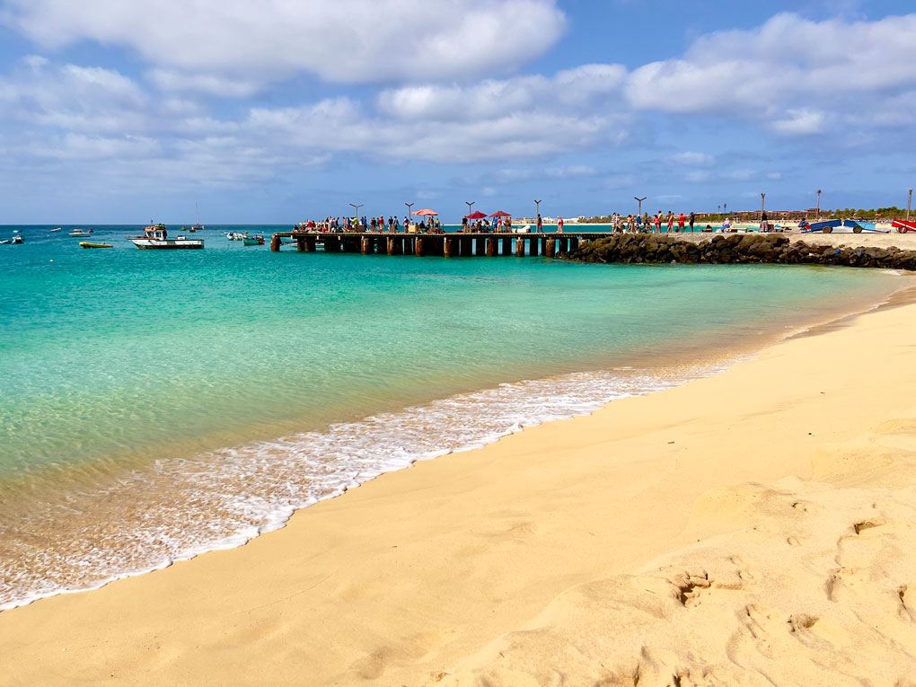
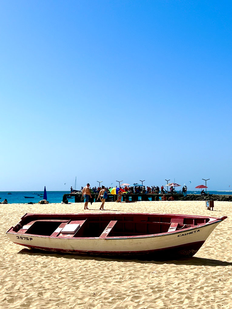
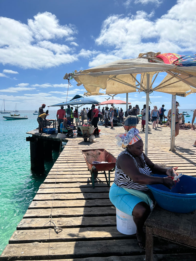
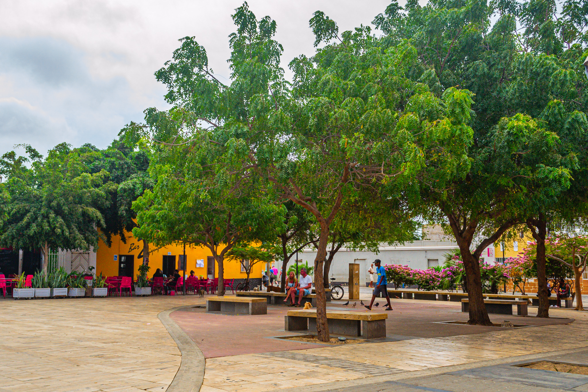
Santa Maria, located on the southern edge of Sal Island in Cape Verde, embodies a charming coastal town. Its expansive beaches, embraced by resorts, offer a picturesque setting. The townscape is adorned with pastel-hued buildings, inviting al fresco dining spots, and vibrant bars resonating with live music.
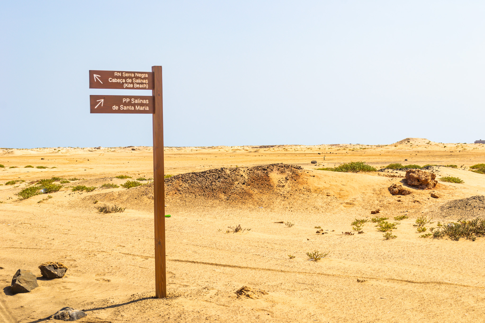
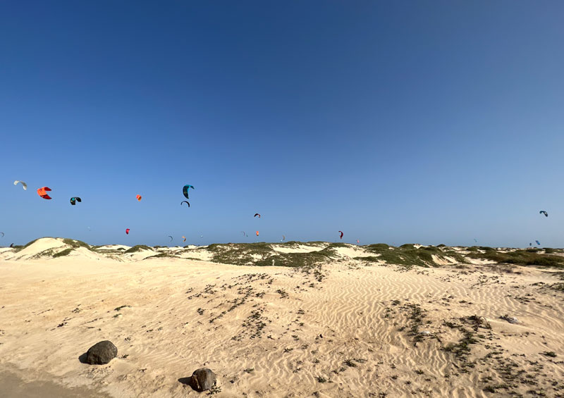
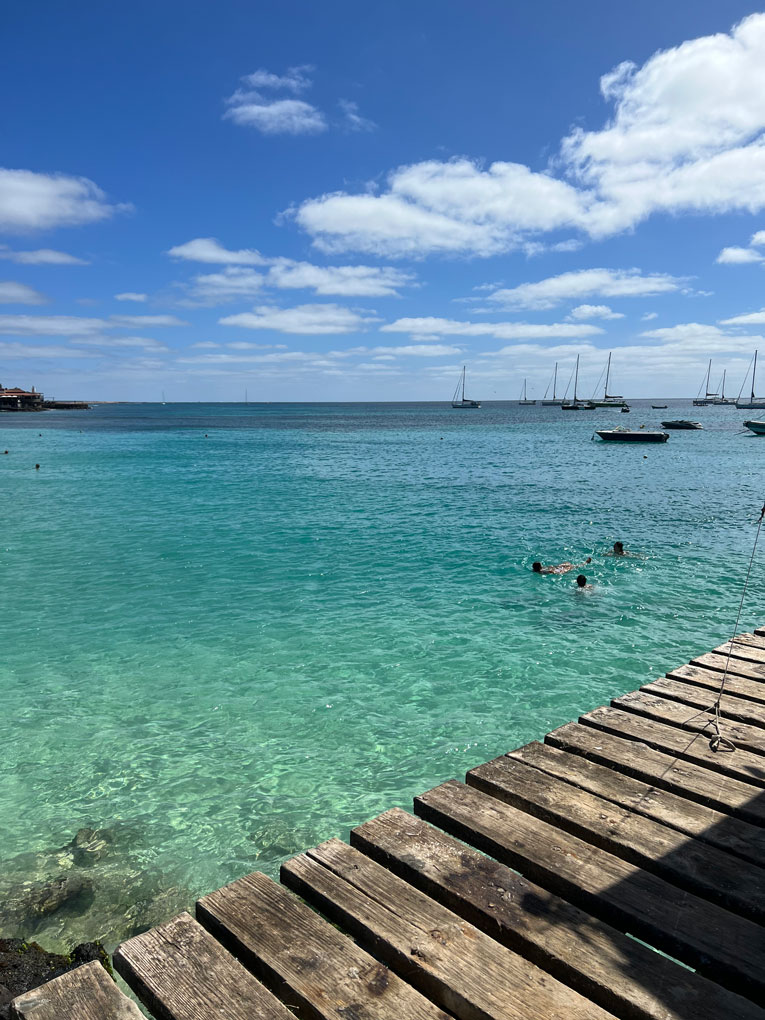
The crystalline waters in this vicinity serve as a habitat for rays and sea turtles, contributing to the area’s natural allure. Adjacent to this coastal gem lies the renowned Kite Beach, an exposed stretch popular among kitesurfing enthusiasts. Click here for place to visit in Santa Maria. You can also visit a live webcam from the pier here
About Espargos – Sal Island
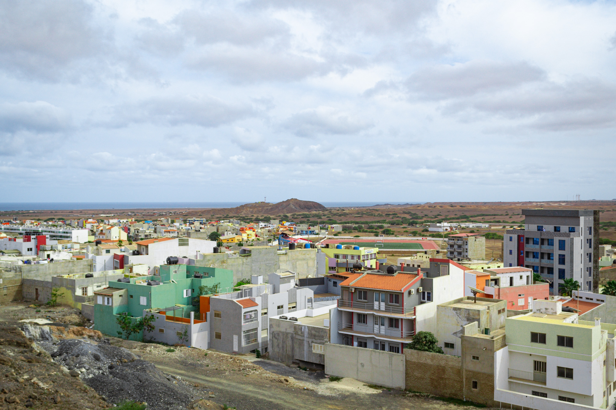
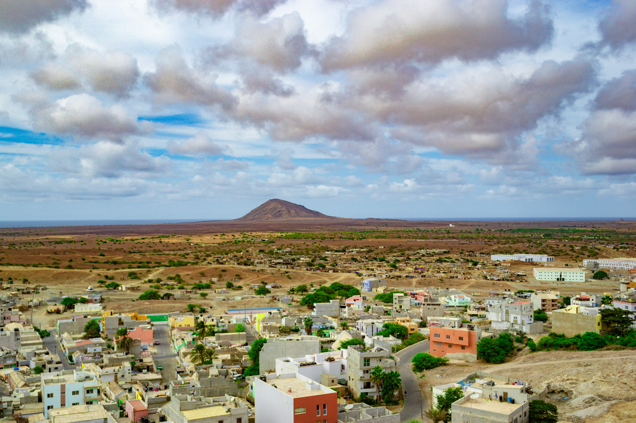
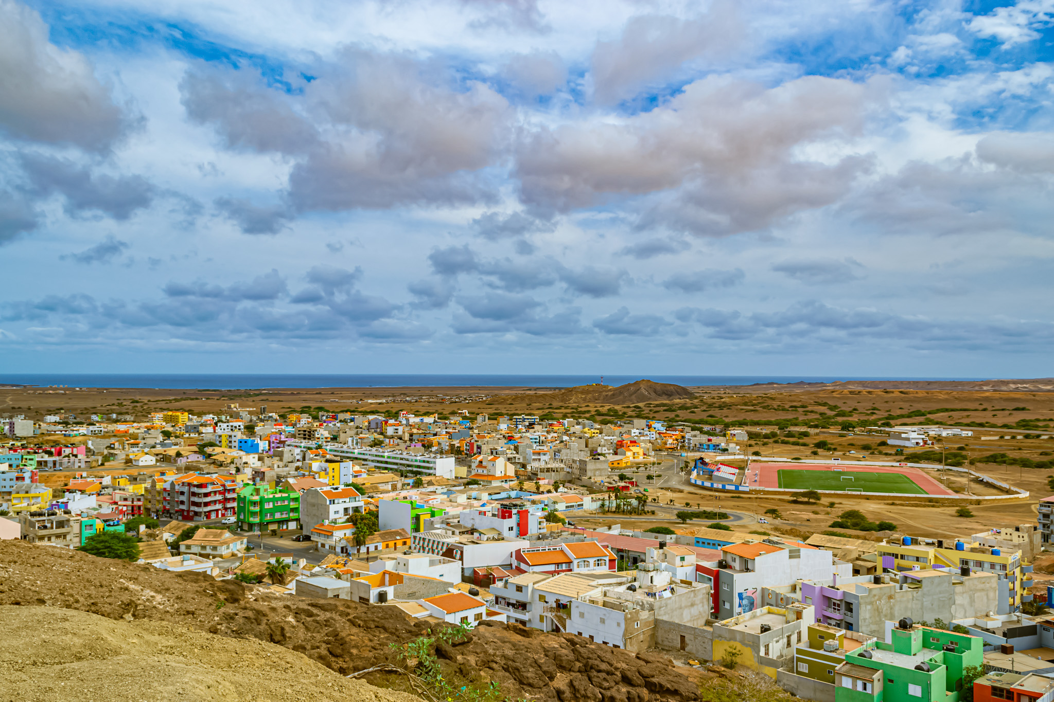
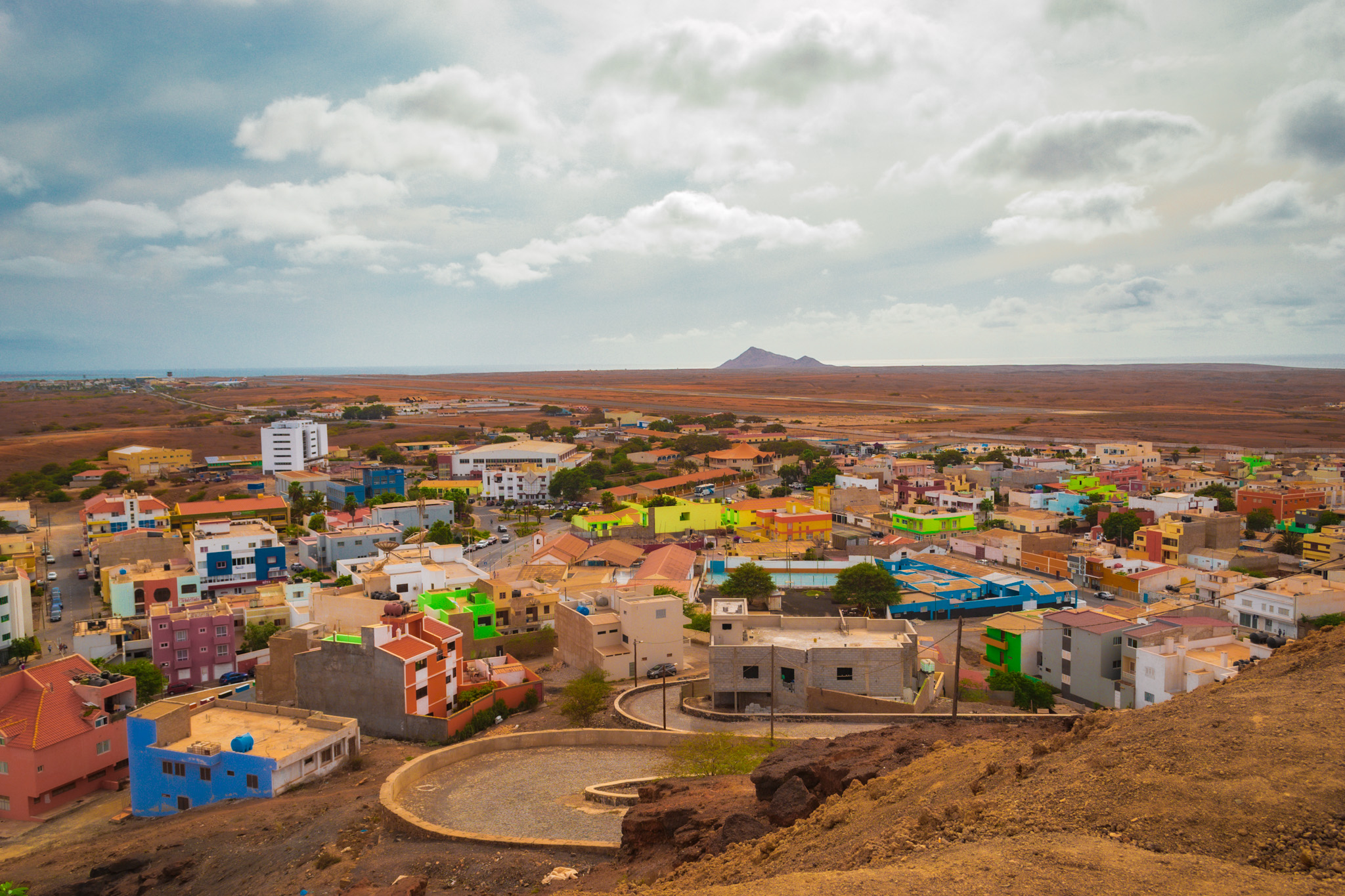
Espargos, the capital and primary commercial hub of Sal Island and its municipality in Cape Verde, sits at the core of the island’s landscape.
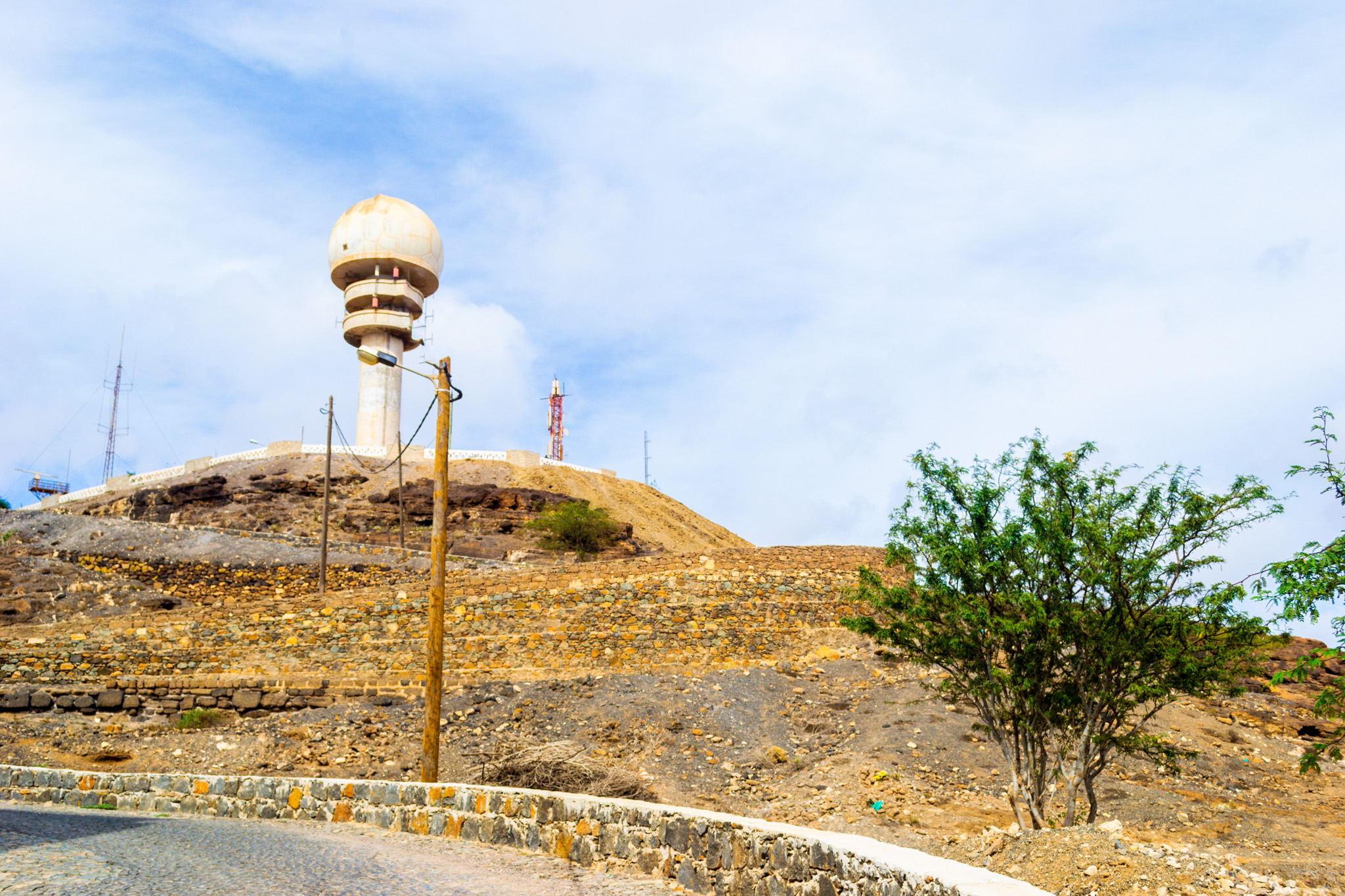
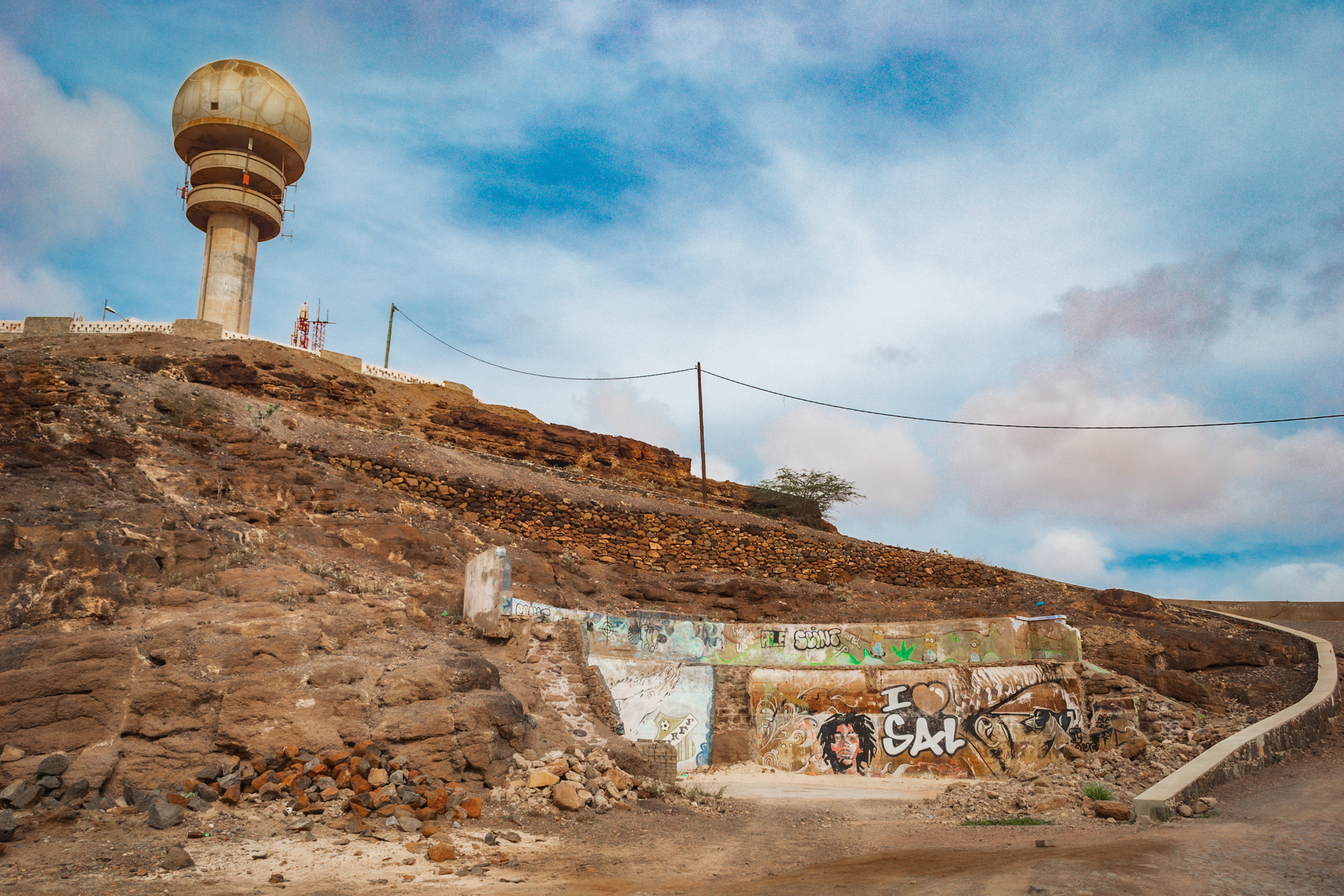
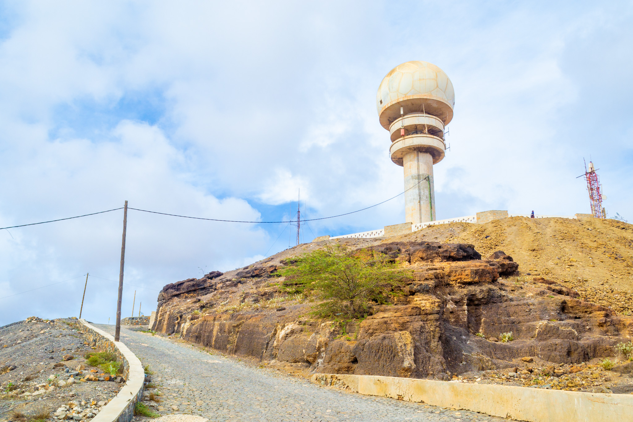
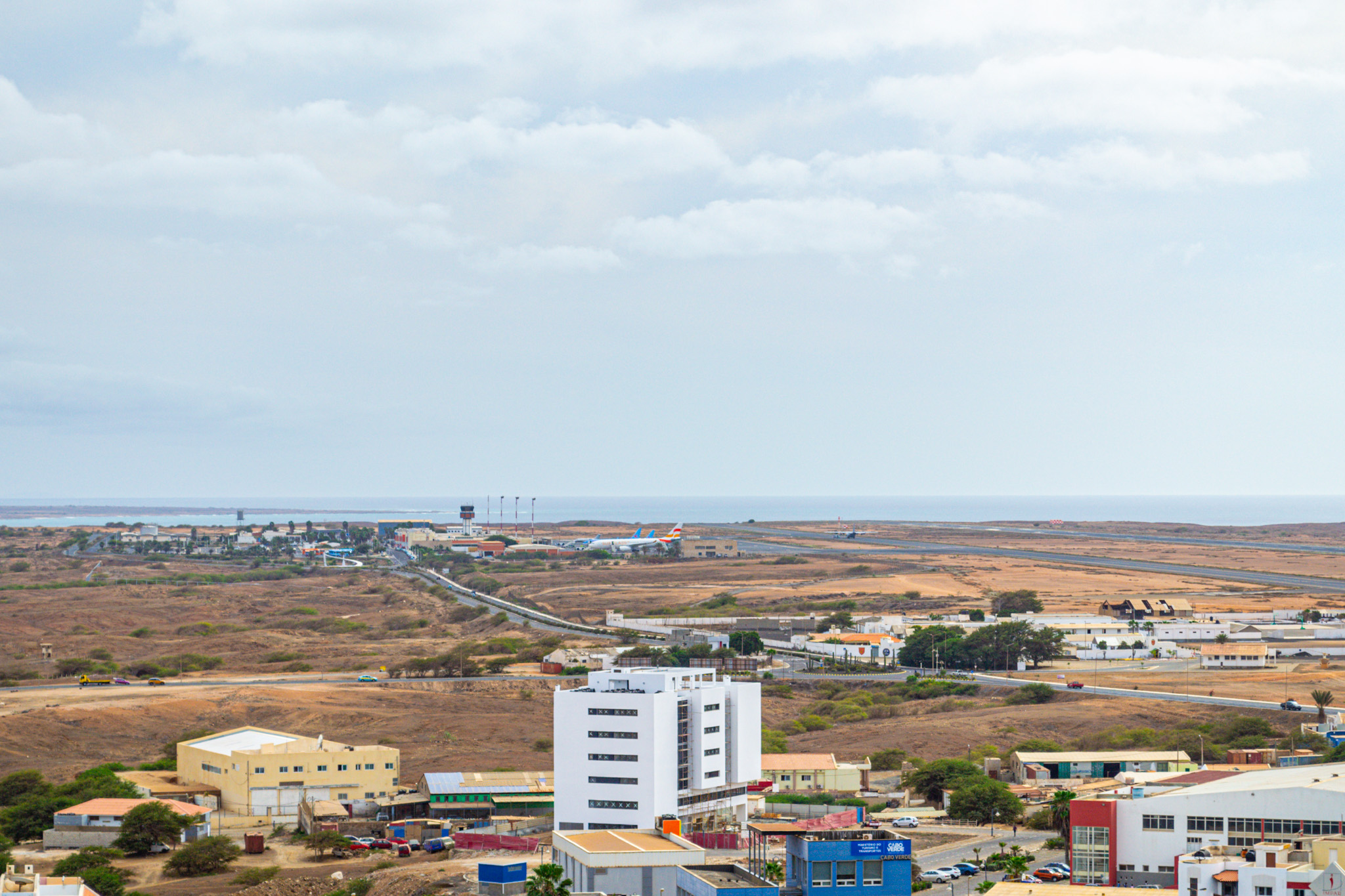
Geographically, Espargos is crowned by Monte Curral, reaching an elevation of 109 meters. This peak hosts the radar station and the airport’s control tower, forming part of the Amílcar Cabral International Airport, positioned directly southwest of the city center.
Espargos’ evolution traces back to the airport’s inception in 1939, initiated by the Italian government under Benito Mussolini. However, due to World War II, the Italian involvement halted. Post-war, the Portuguese acquired the airport from the Italians, and by 1949, it transformed into a fully operational facility. Adjacent to the airport, small houses emerged, with workers from Sao Nicolau naming the civilian area “Preguiça,” mirroring a port village from their native island.
In 2010, Espargos transitioned from a town to a city, marking a significant milestone in its development.
About Palmeira
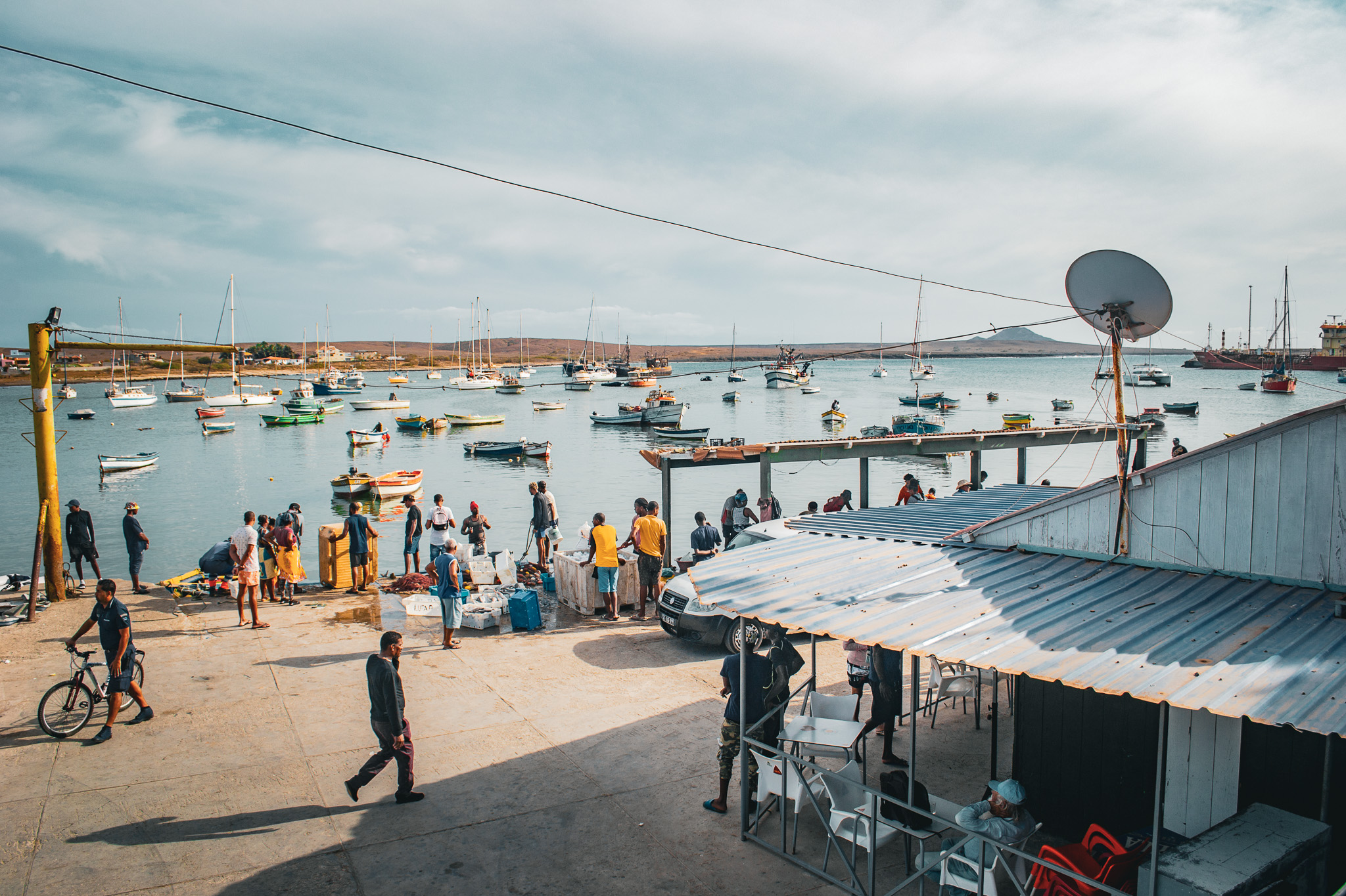
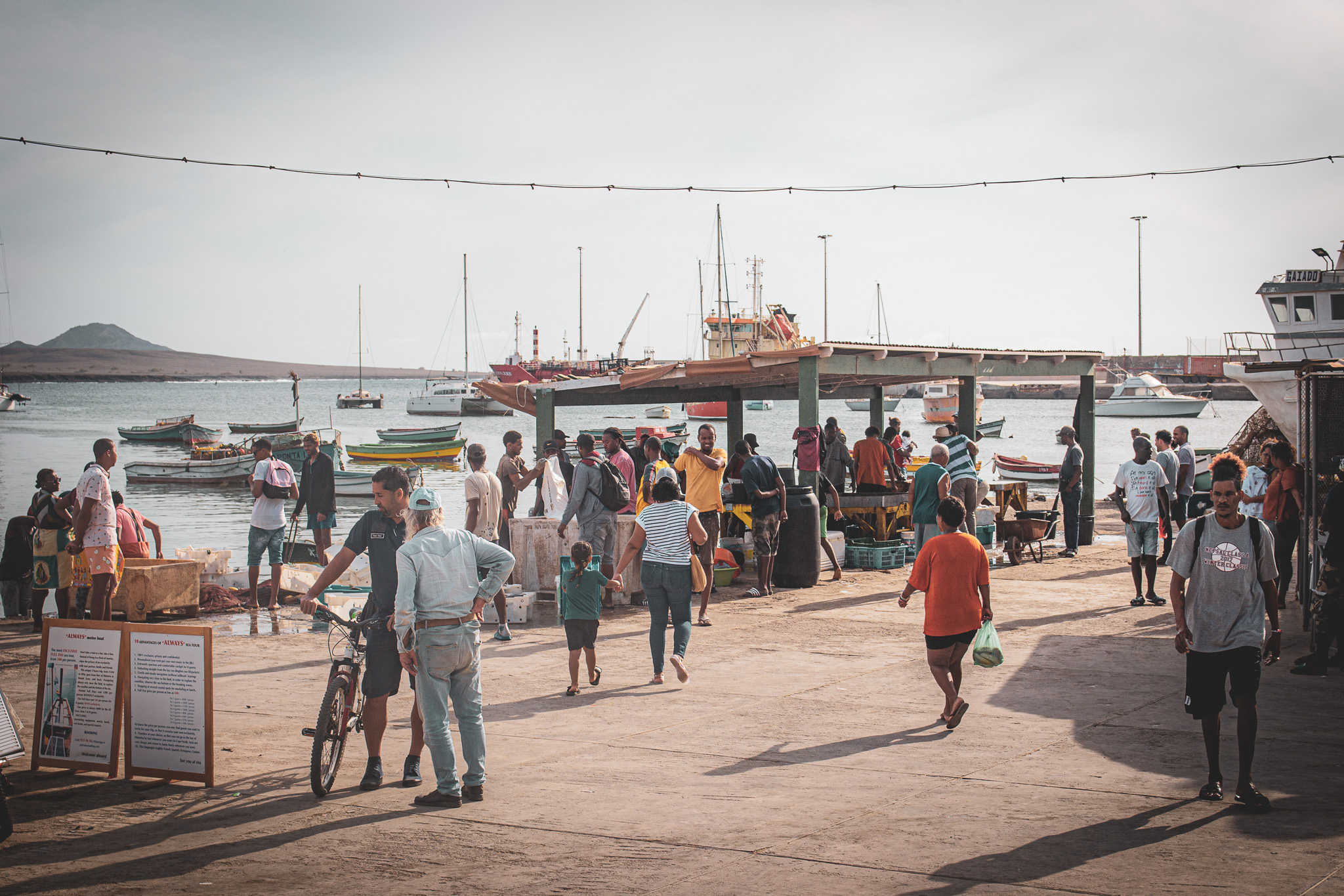
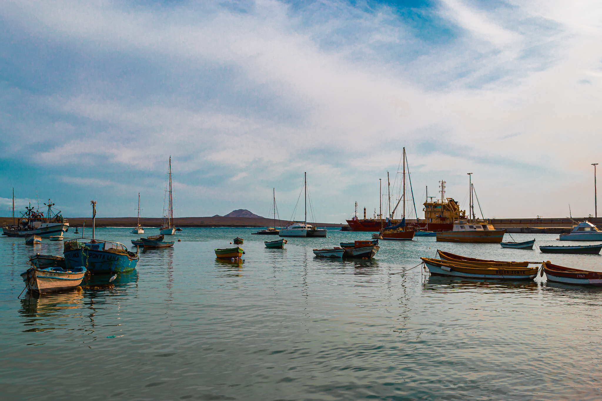
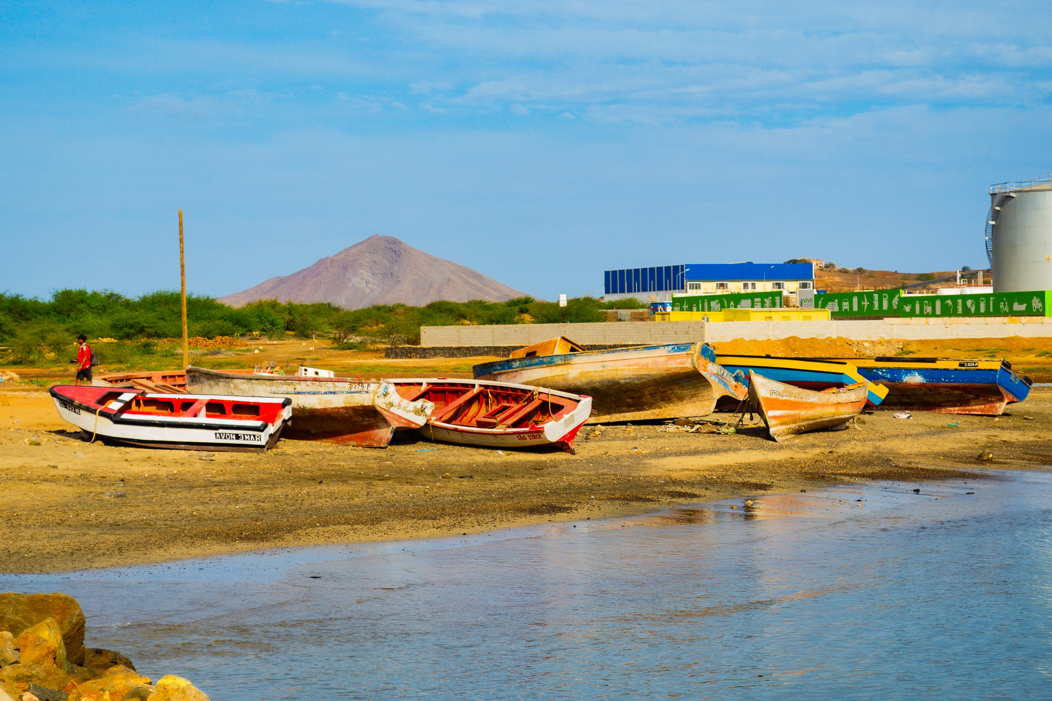
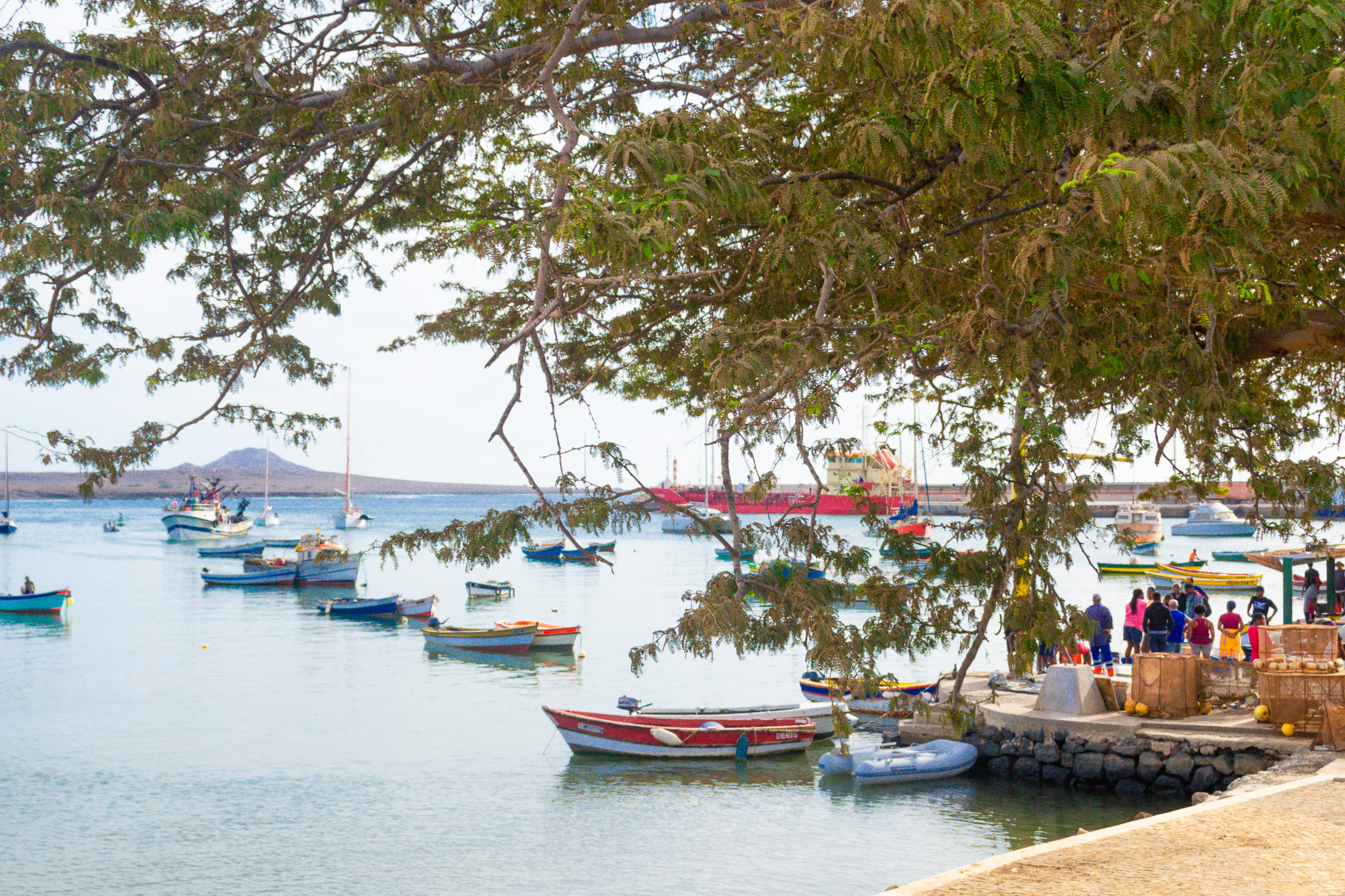
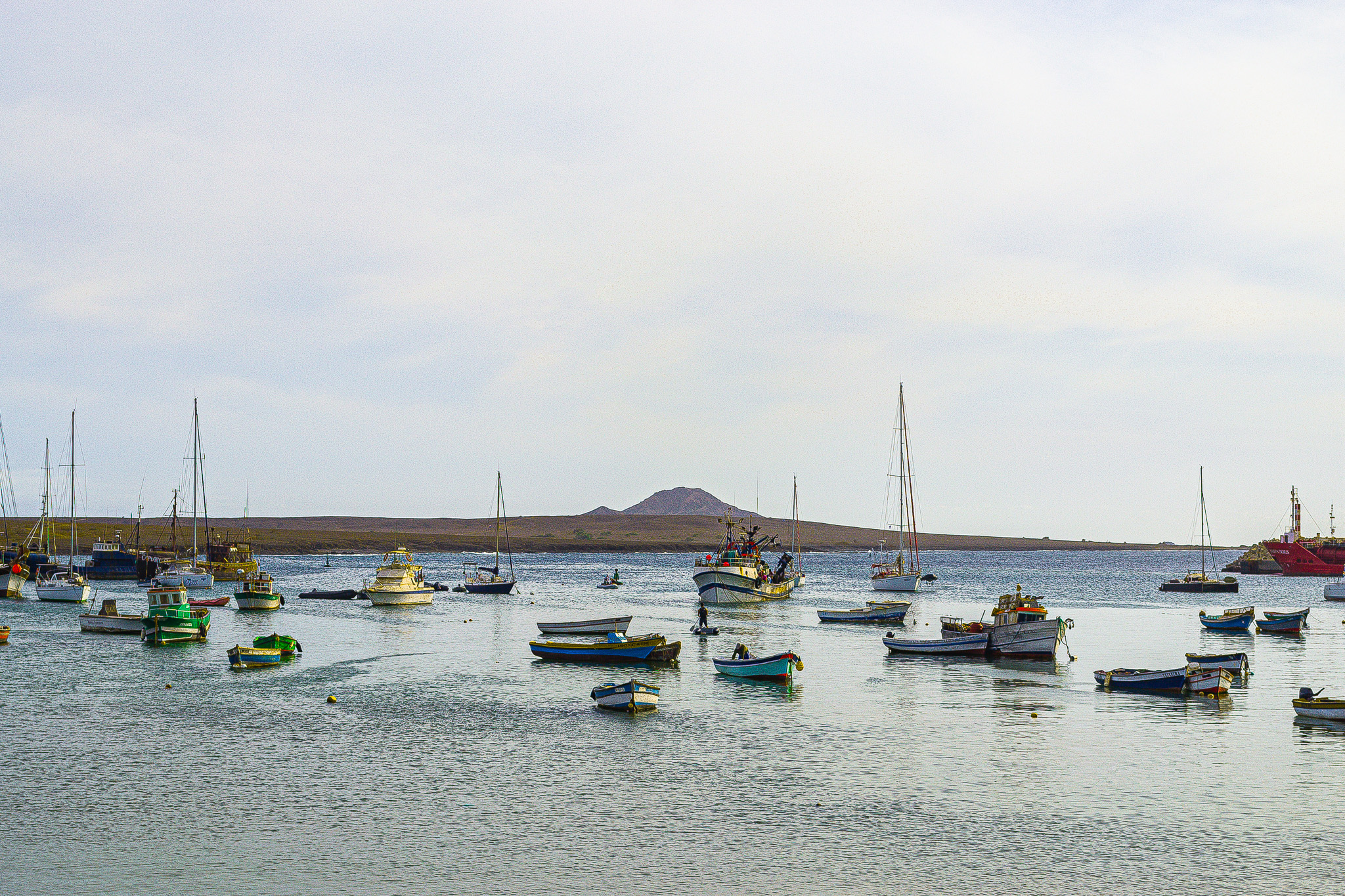
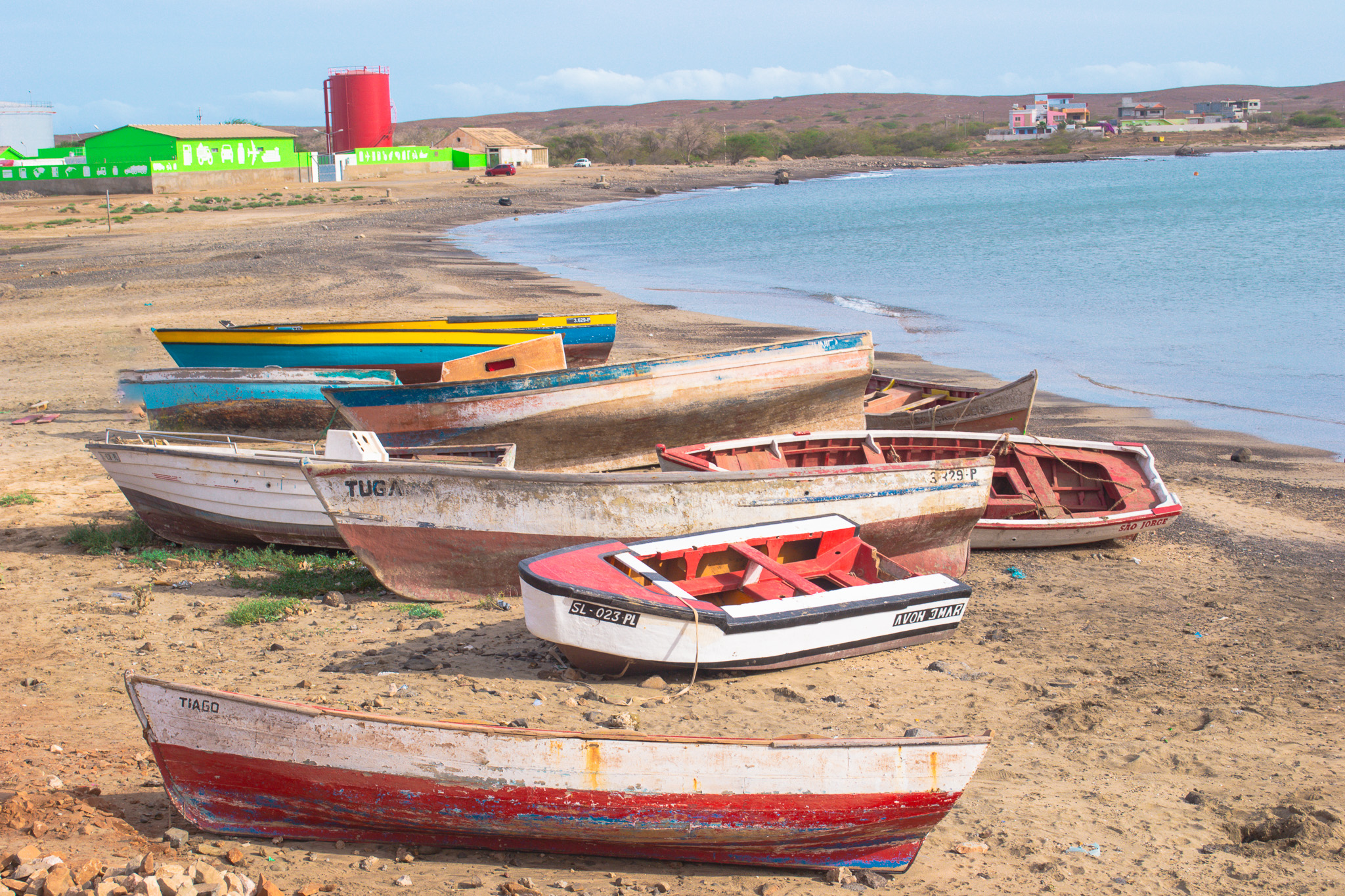
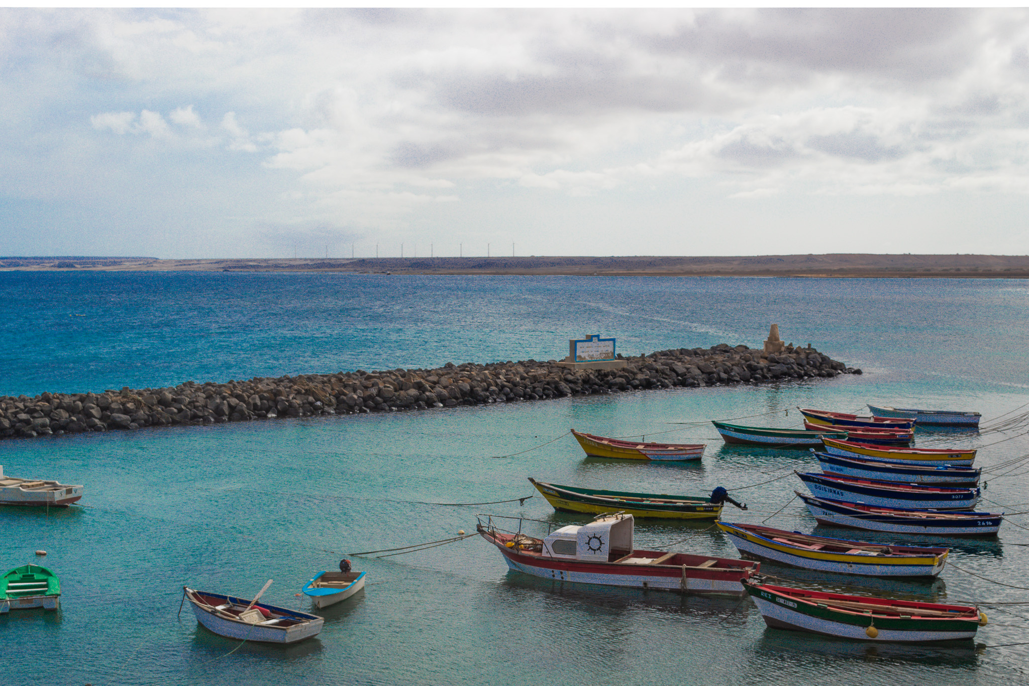
Explore Palmeira, a charming town nestled in the northwest of Sal, Cape Verde. With a population of 1,420 as of 2010, this coastal gem is located just 4 km west of Espargos, the island’s capital. Positioned at Baía de Palmeira, a picturesque bay to the south, the town boasts the primary port of Sal. Renowned as the third busiest port in Cape Verde for freight traffic, Palmeira is a hub of maritime activity. Immerse yourself in the beauty and vibrancy of this maritime destination.
About Pedra de Lume
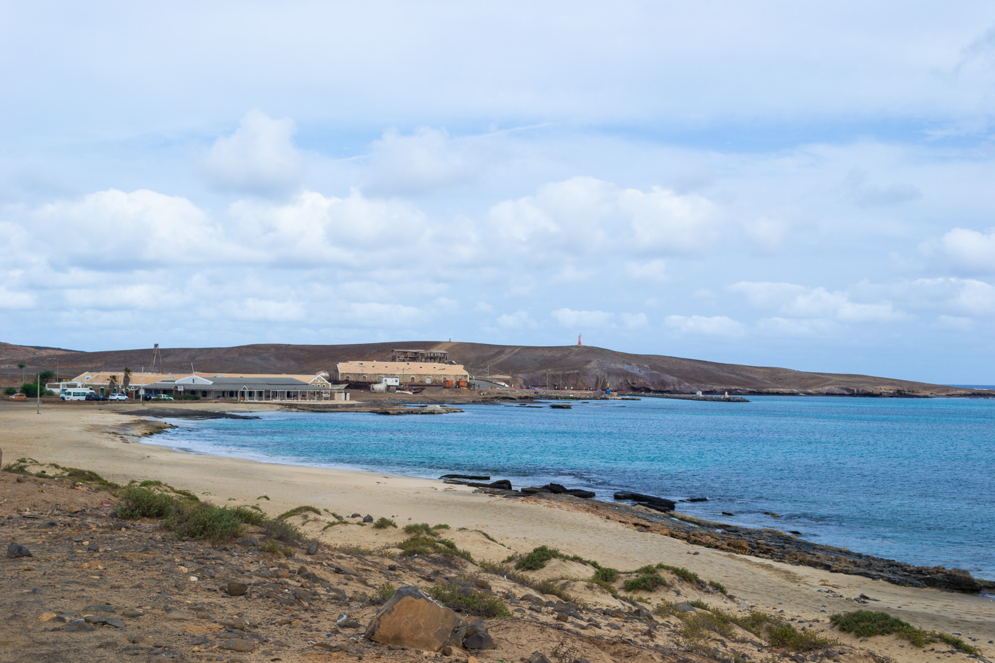
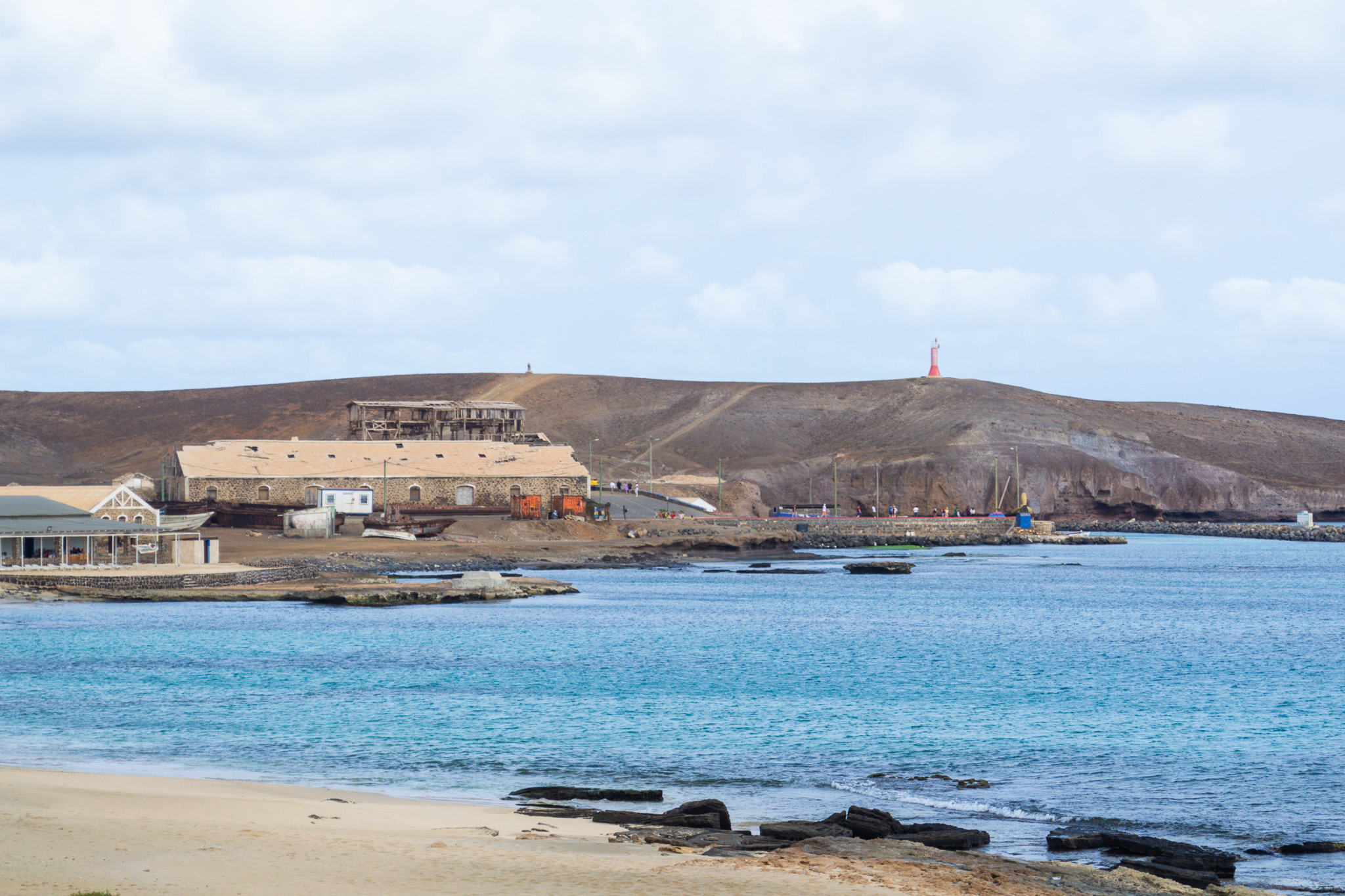
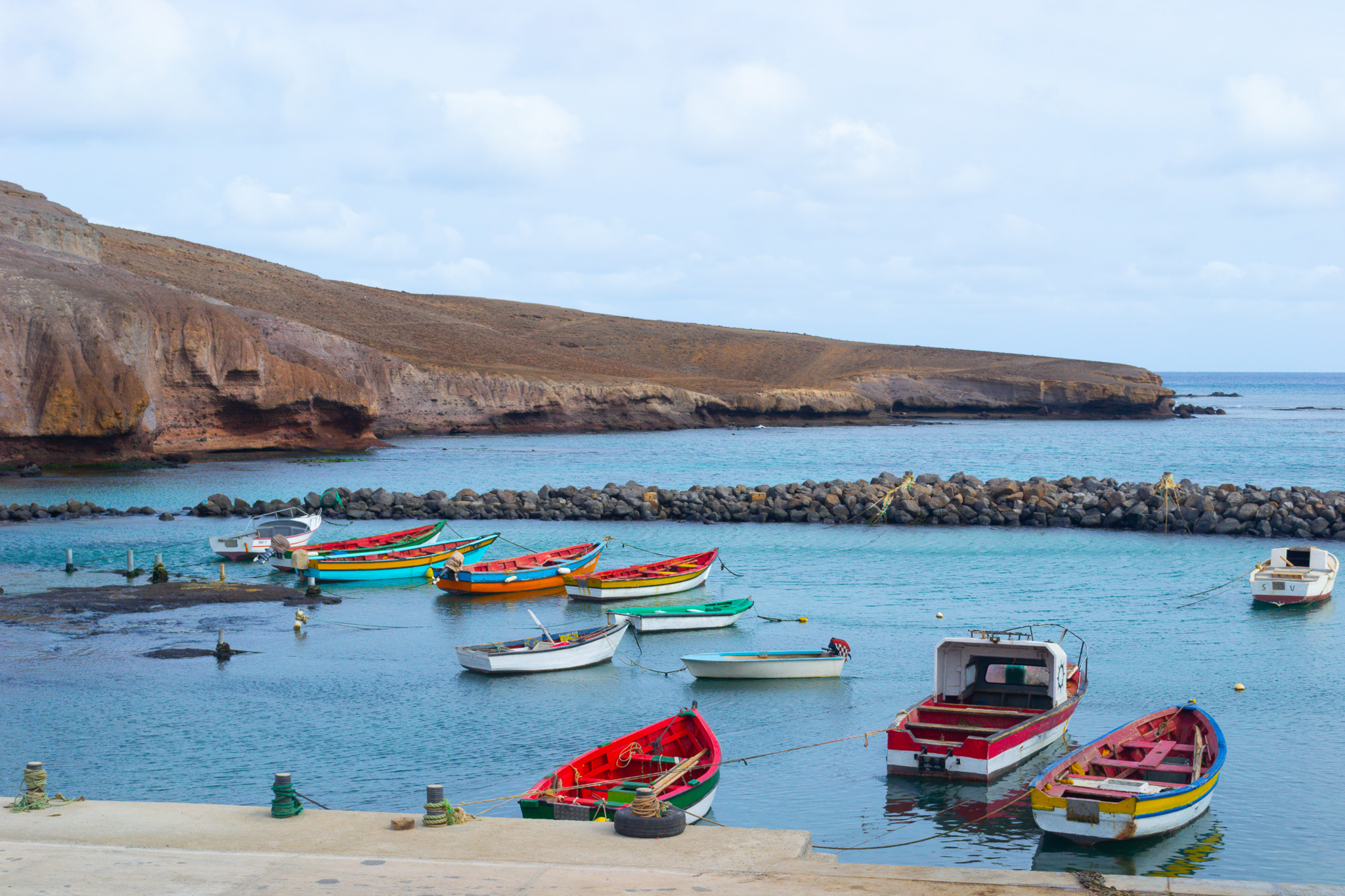
Discover the allure of Pedra de Lume, a captivating village nestled in the northeastern part of Sal, Cape Verde. Located 5 km east of the island capital Espargos along the picturesque east coast, Pedra de Lume boasts a charming small port and the iconic Farol de Pedra de Lume lighthouse.
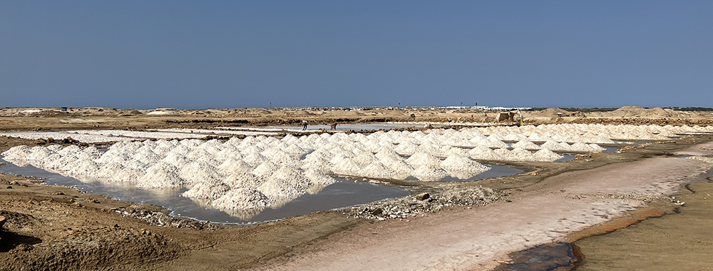
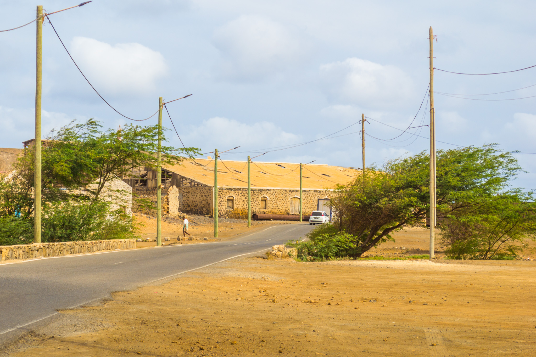
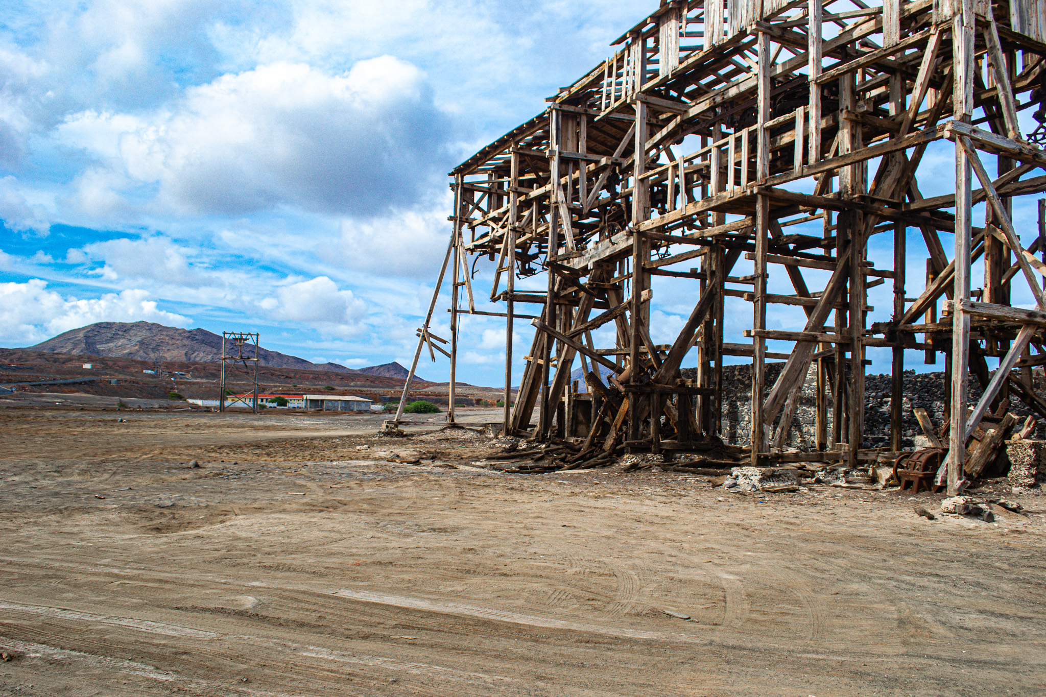
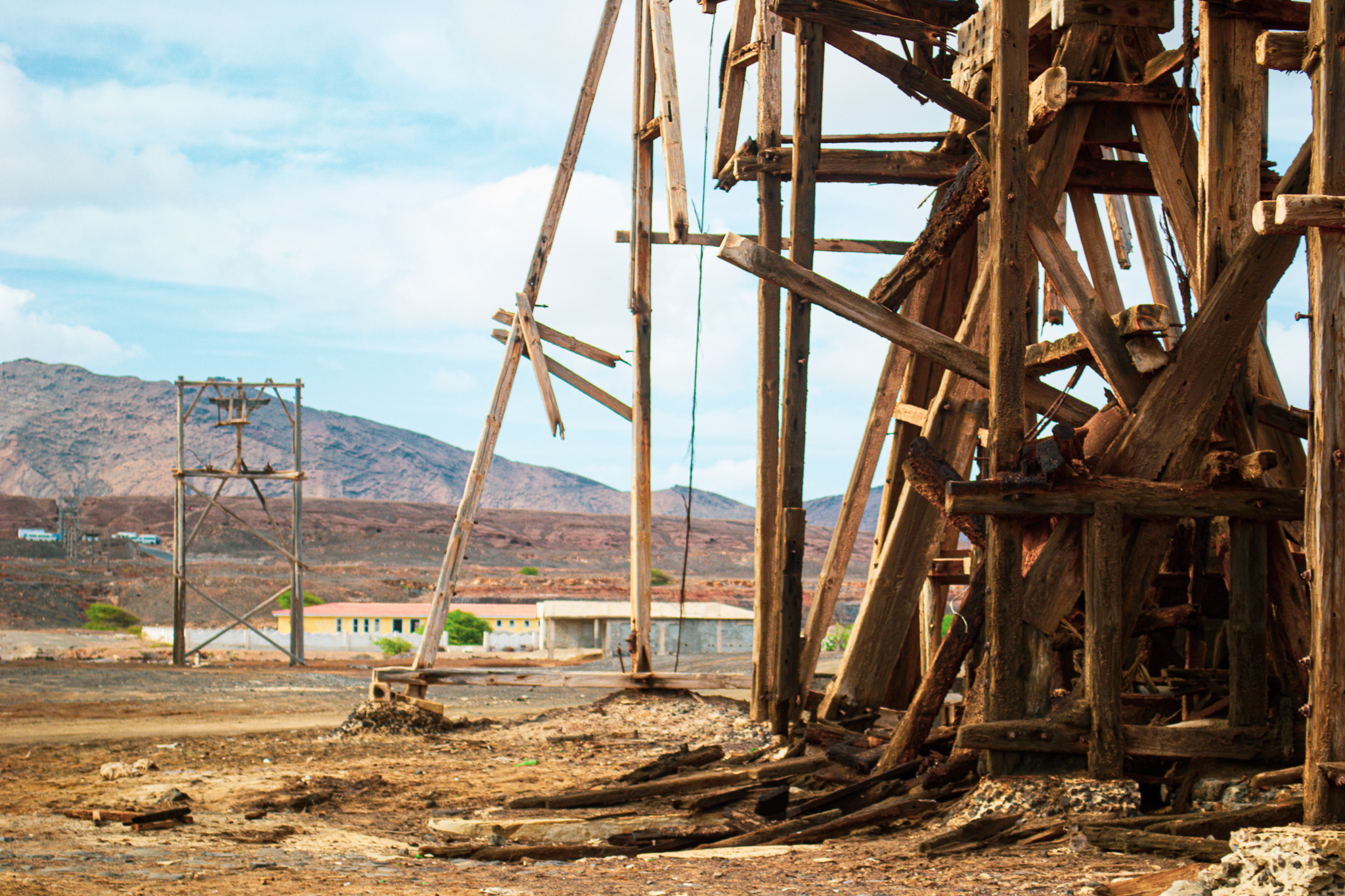
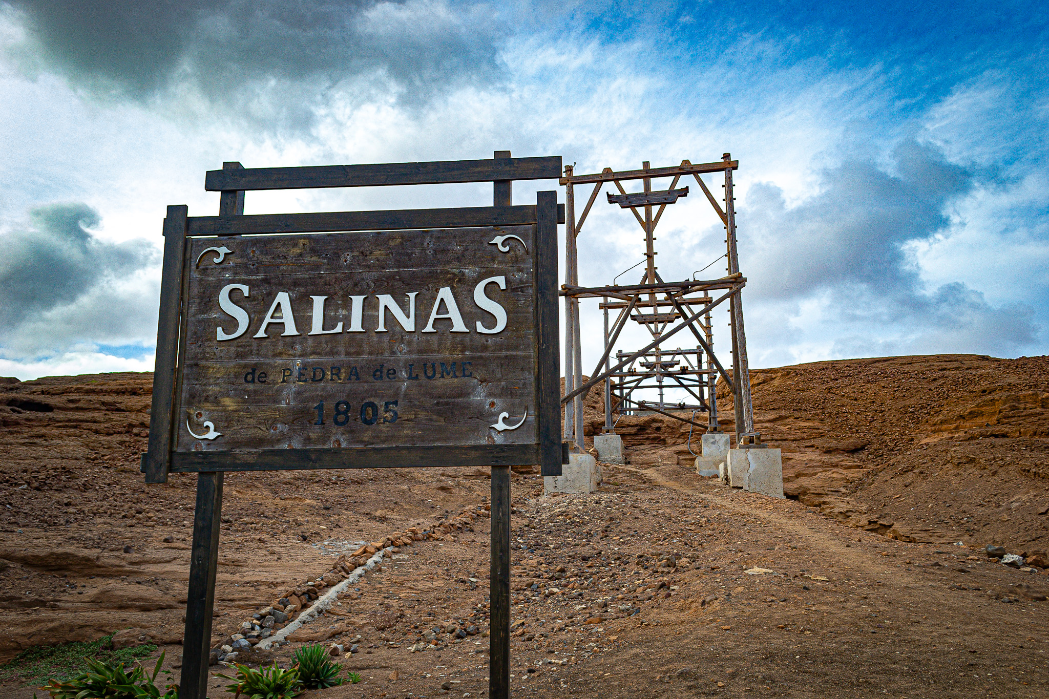
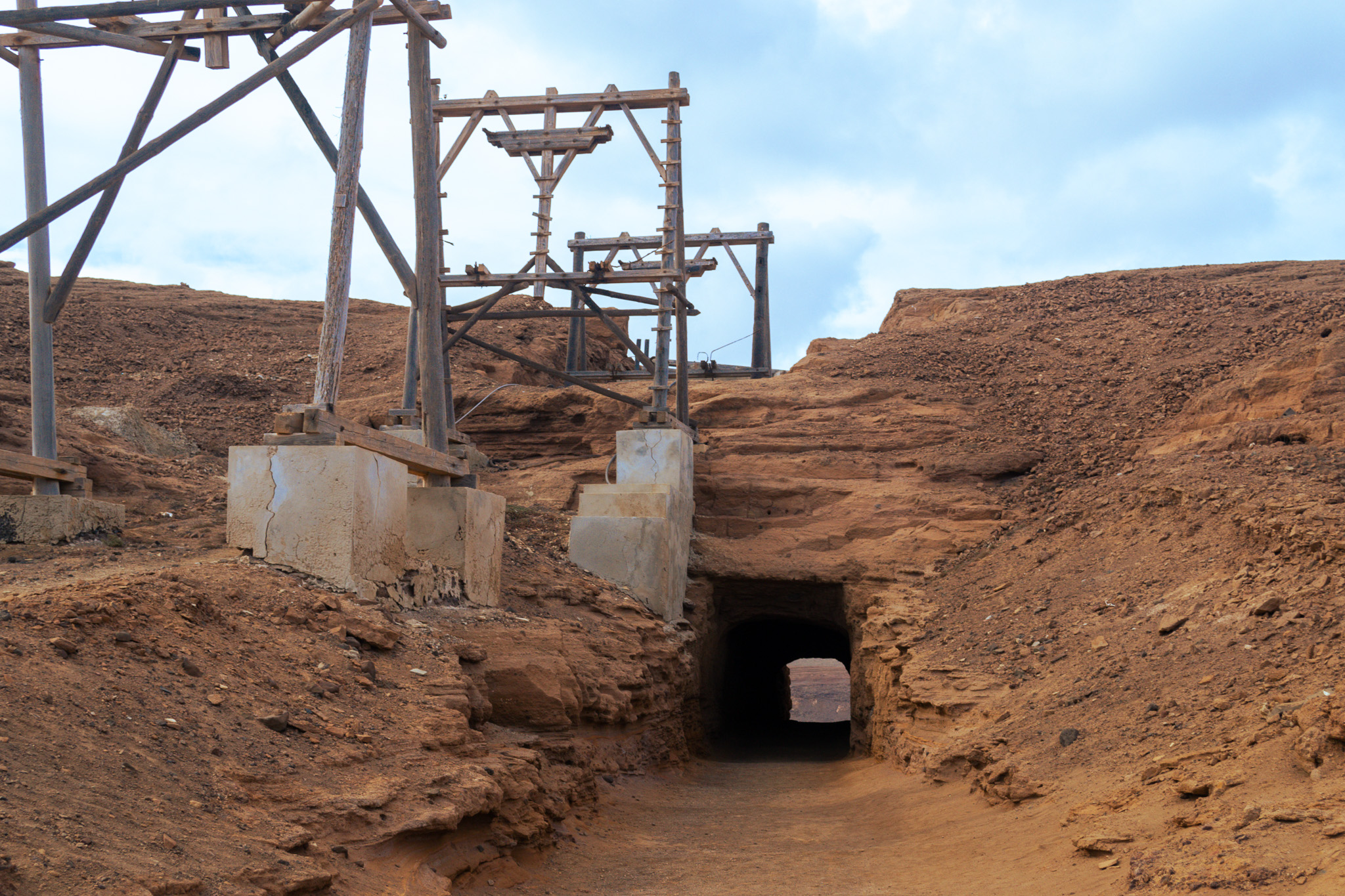
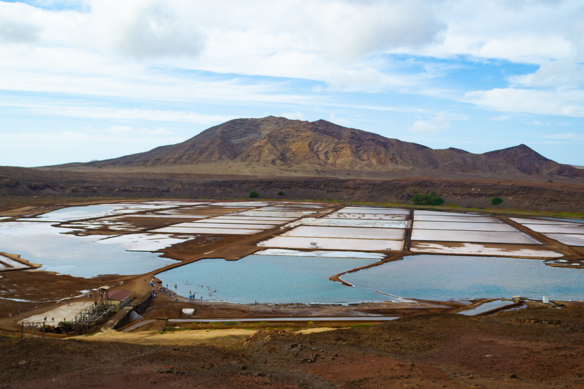
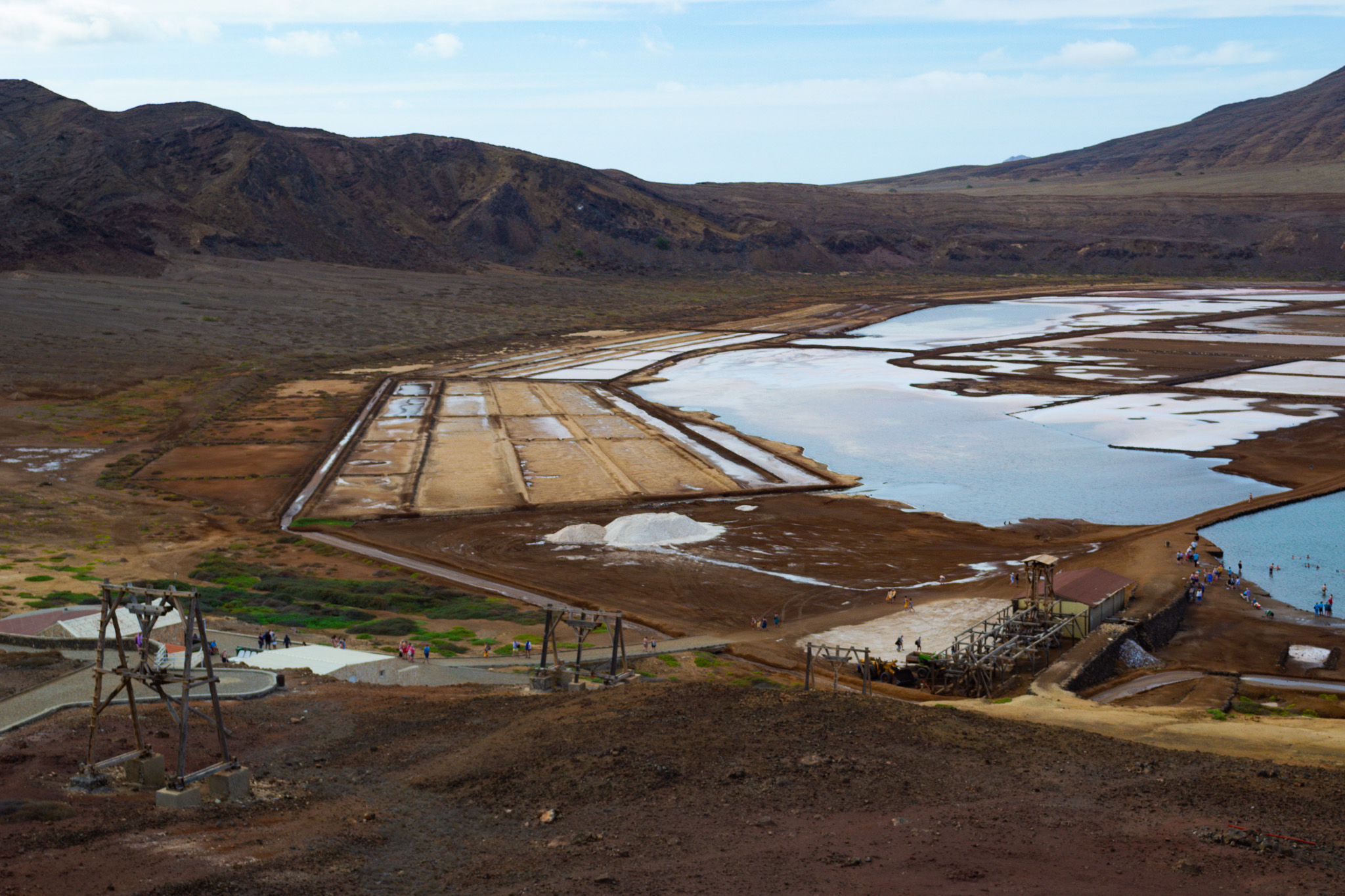
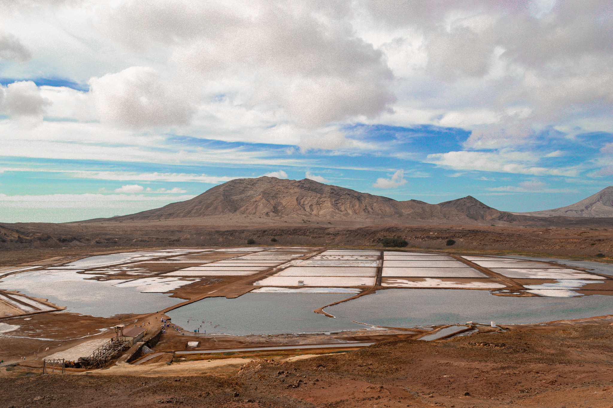
Immerse yourself in the rich history of Pedra de Lume, renowned for its salt evaporation ponds (salinas) that trace back to the 18th century. Unlike typical salt production sites, geologists assert that the pristine waters in the lake rise from deep within the earth rather than lateral infiltration from the ocean. Situated within the crater of an extinct volcano, the salinas, along with the majestic Cagarral mountain, form a protected landscape spanning 8.02 km2 (3.10 sq mi).
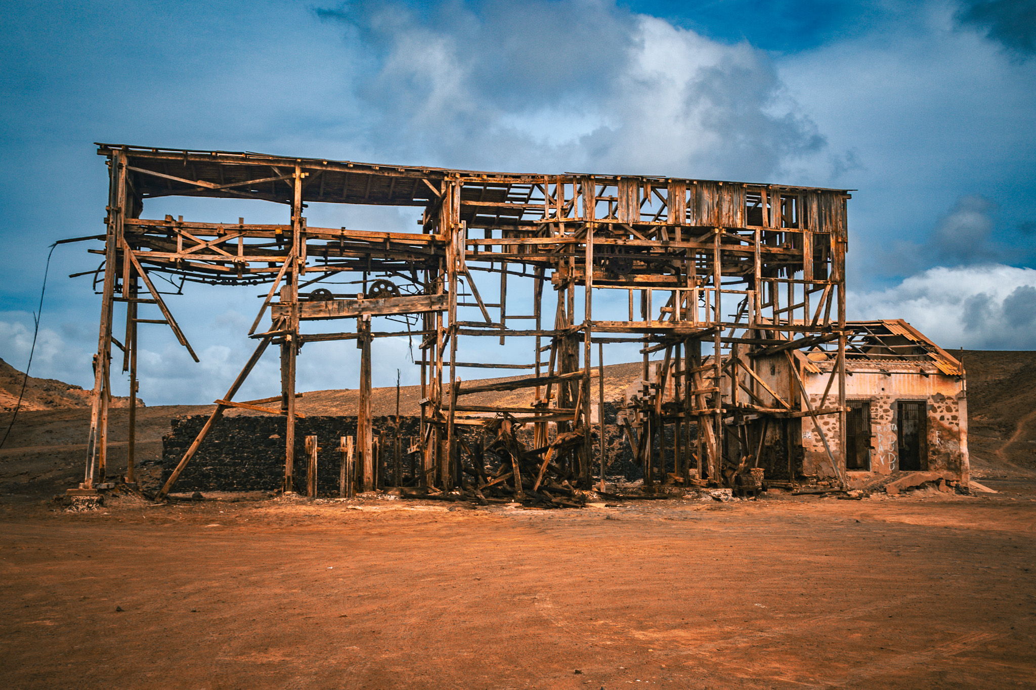
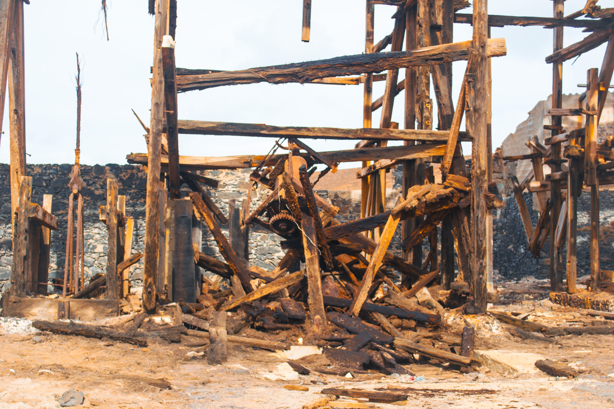
Founded by Manuel António Martins in 1796, Pedra de Lume flourished with salt production throughout the 19th century. Despite a decline post-1887 due to a Brazilian salt import ban, the village experienced a revival in salt production in 1921 with the introduction of an 1100 m aerial tramway by the French company Salins du Cap Vert. Today, the salt production is modest, primarily catering to beauty products and thalassotherapy. Uncover the legacy and natural beauty of Pedra de Lume on your journey through Cape Verde.

